Ohio Maps Home > Ohio Map Collection > Youngstown Map
Street Map of Youngstown
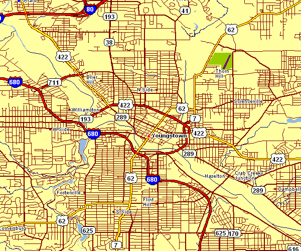
Above is a simple plot that shows the political boundaries of this neck of the woods with a simple medley of map elements.
You can print this map and utilize it in your research. Linking back to this resource would be considerate and well thought of.
On the assumption that you are hoping for support obtaining a map, a different kind of map, or are hoping for a high quality custom-made work, please contact us.
Purchase high quality personalized maps from us. A custom map made by us cover a wonderful assortment of features, like: trails, map projection, UTM coordinates, capes, major municipal/district areas, unincorporated areas, forests, or plains, etc. Map types reach from highway to satellite, folded to rolled, regional to consolidated cities.
High Quality maps are specific, complete, and not misleading. Skillful cartography by YellowMaps.
To purchase hardcopy maps, like backroad mapbooks, folded maps, or topographic maps, I suggest you marvel at the cartographic delights in our online map shop It has thousands and thousands items.
We love maps. A grand passion and delight. Show me a good map of the world..., they say.
Back to Ohio map collection